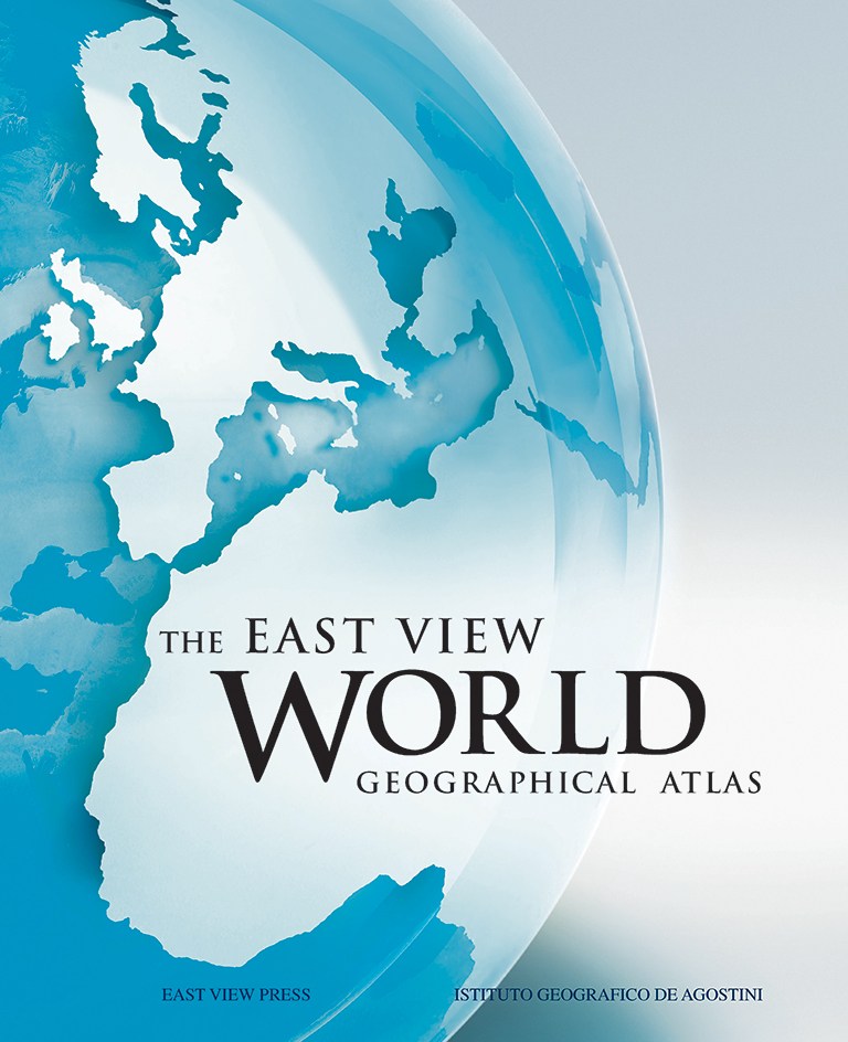
The East View World Geographical Atlas
Published in conjunction with the Istituto de Agostini, The East View World Geographical Atlas follows the United Nations Group of Experts on Geographical names, featuring both political and physical maps of countries and regions of the world. This fully updated atlas is 440 pages and includes 176 maps (including insets), as well as:
- The latest world population data and the addition of South Sudan, the 195th country in the world
- Detailed physical and political maps of Europe, Asia, Africa, North America, South America and Oceania, plus a world time zone map
- Satellite images of the world, oceans and each of the six main regions
- Complete mapping coverage with accurate reliefs, political boundaries, urban hierarchy, and main transport networks
- Precise, exclusive designs and colors for physical features, including ranges of altitude and depth of seas and oceans
- Large-scale mapping of Europe – the most detailed coverage among similar atlases
- An expanded section on maps of the oceans
- Use of official local place names on large scale maps
- Detailed geographical glossary and index of names
Published in 2011, The East View World Geographical Atlas (ISBN 978-1-879944-08-4) is available as an oversize hardcover (31 x 42 cm) presented in a slipcase.

Purchase
Format