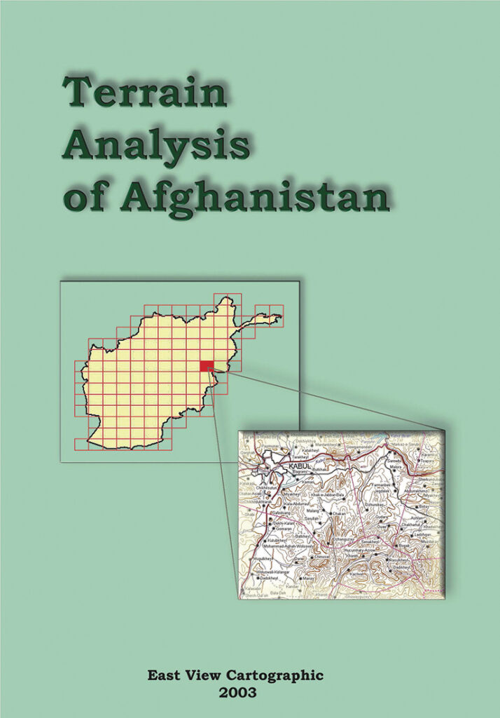
Terrain Analysis of Afghanistan
Terrain Analysis of Afghanistan provides an in-depth synopsis of essential geographic information for the entire country, utilizing the terrain analysis reports found on the verso side of the 1:200,000 scale Soviet military-topographic map series. Each report, 128 in all, analyses the terrain and relevant geography of a specific portion of Afghanistan. The reports themselves are structured into six parts, describing populated places; local roads and transportation networks; topography and soils; hydrology; vegetation, and climate. Following this description for each area is a small-scale overview topographic map of the region under examination, as well as a soil map.
Terrain Analysis of Afghanistan provides easy access to intelligence on:
- Populated places: From small towns and villages to major cities, local road conditions, building characteristics, water resources, housing density, sanitary conditions, telecommunications infrastructure, and population levels.
- Roads and bridges: Load capacities, surface type (e.g. dirt, gravel, asphalt) and width, elevation and seasonal conditions.
- Topography and Soil Conditions: Altitude and slope characteristics for local terrain, types of soils (e.g. sandy, clay), and water tables.
- Hydrography: Major rivers, widths, depths, and flow rates, banks/islands, silting, freezing pollution and conditions affecting use.
- Vegetation: Grassy, forested shrubs, tree heights and types, predominant types of grasses and crops cultivated.
- Climate: Temperature range by season, snow, rainfall and wind conditions.
