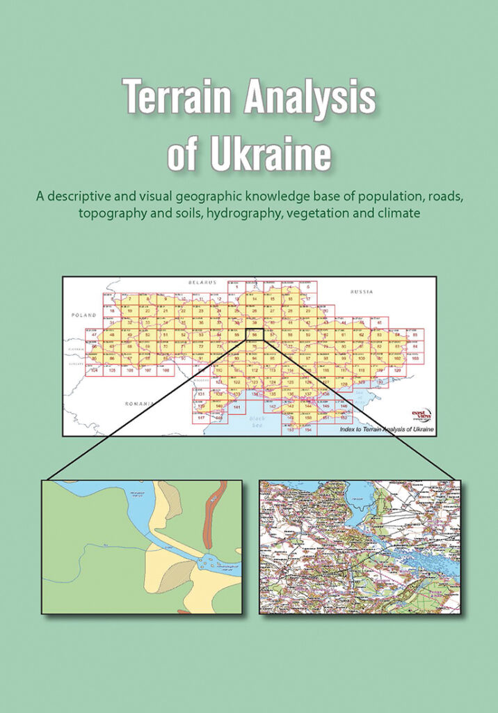
Terrain Analysis of Ukraine
The latest addition to East View’s series of terrain analysis products, Terrain Analysis of Ukraine is based on detailed analytical reports found on the verso side of each 1:200,000 scale topographic map produced by national mapping authorities. These reports draw on detailed on-site surveys and long-term observations.
This unique publication delivers a descriptive and visual geographic knowledge base of Ukraine’s population, roads, topography and soils, hydrology, vegetation and climate. Where possible, East View has updated the reports with additional data from authoritative sources. Published in English for the first time, and supplemented with hundreds of full-color topographic and soil maps, Terrain Analysis of Ukraine makes an abundance of detailed local geographic data accessible to a global audience.
Terrain Analysis of Ukraine provides easy access to intelligence on:
- Populated places: From small towns and villages to major cities, local road conditions, building characteristics, water resources, housing density, sanitary conditions, telecommunications infrastructure, and population levels.
- Roads and bridges: Load capacities, surface type (e.g. dirt, gravel, asphalt) and width, elevation and seasonal conditions.
- Topography and Soil Conditions: Altitude and slope characteristics for local terrain, types of soils (e.g. sandy, clay), and water tables.
- Hydrography: Major rivers, widths, depths, and flow rates, banks/islands, silting, freezing pollution and conditions affecting use.
- Vegetation: Grassy, forested shrubs, tree heights and types, predominant types of grasses and crops cultivated.
- Climate: Temperature range by season, snow, rainfall and wind conditions.
